Our Services
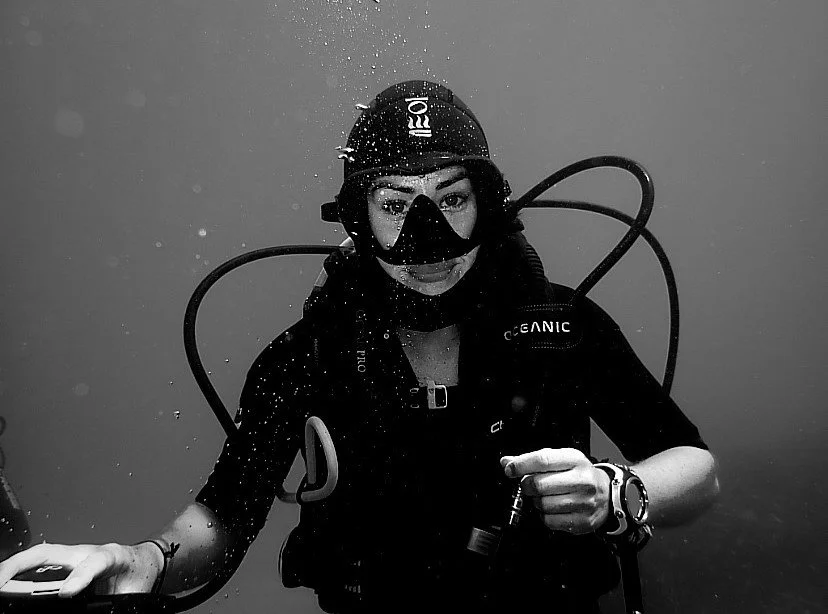
Providing marine ecological expertise to support environmental monitoring, regulatory compliance, impact assessments, and sustainable marine management.
Benthic habitat assessment and classification
Seabed ecology interpretation
Environmental monitoring and impact assessment
Habitat condition assessment
Ecological data interpretation
Technical reporting and evidence synthesis
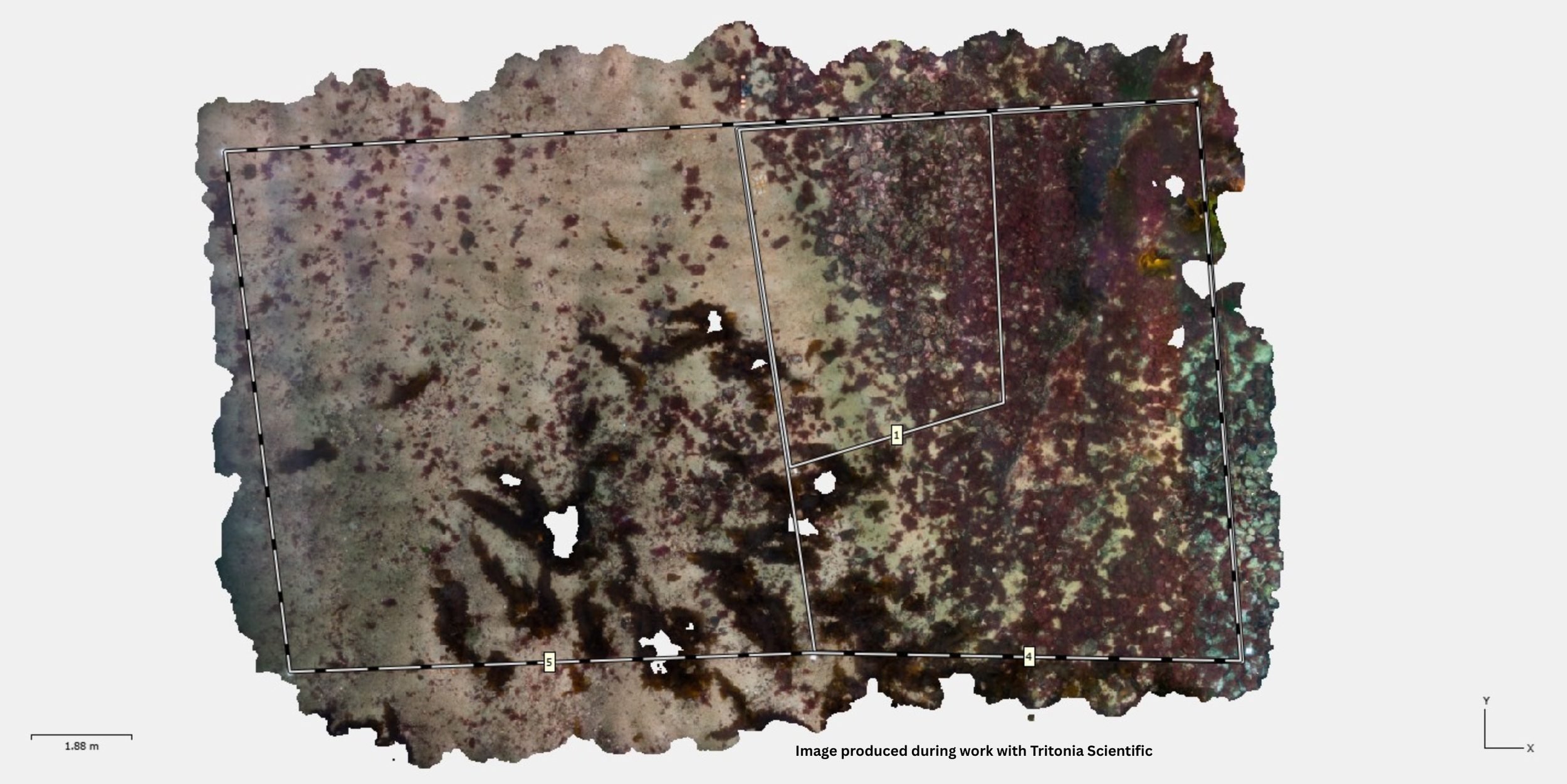
Specialist processing and analysis of underwater imagery to create accurate, high-resolution 3D models for habitat mapping, environmental monitoring, and spatial analysis.
Processing of diver and ROV imagery
3D seabed and habitat reconstruction
Georeferenced photogrammetry workflows
Habitat mapping and quantification
Morphometric measurements from 3D models
Environmental interpretation of photogrammetric outputs
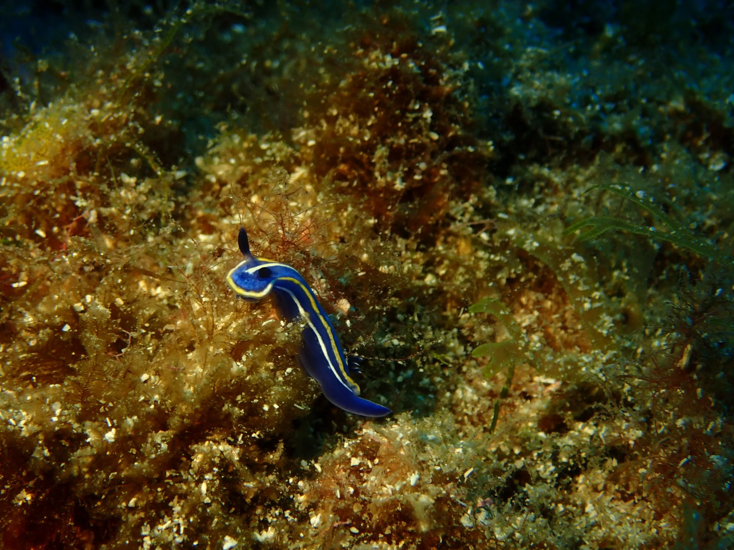
Analysis of marine environmental datasets to identify ecological patterns, support environmental monitoring and compliance, and deliver clear, evidence-based outputs.
Interpretation of benthic monitoring and compliance data
Environmental indicator and ecological status assessment
Ecological trend analysis
GIS mapping and spatial analysis
Data visualisation and publication-quality figures
Technical reporting and data presentation