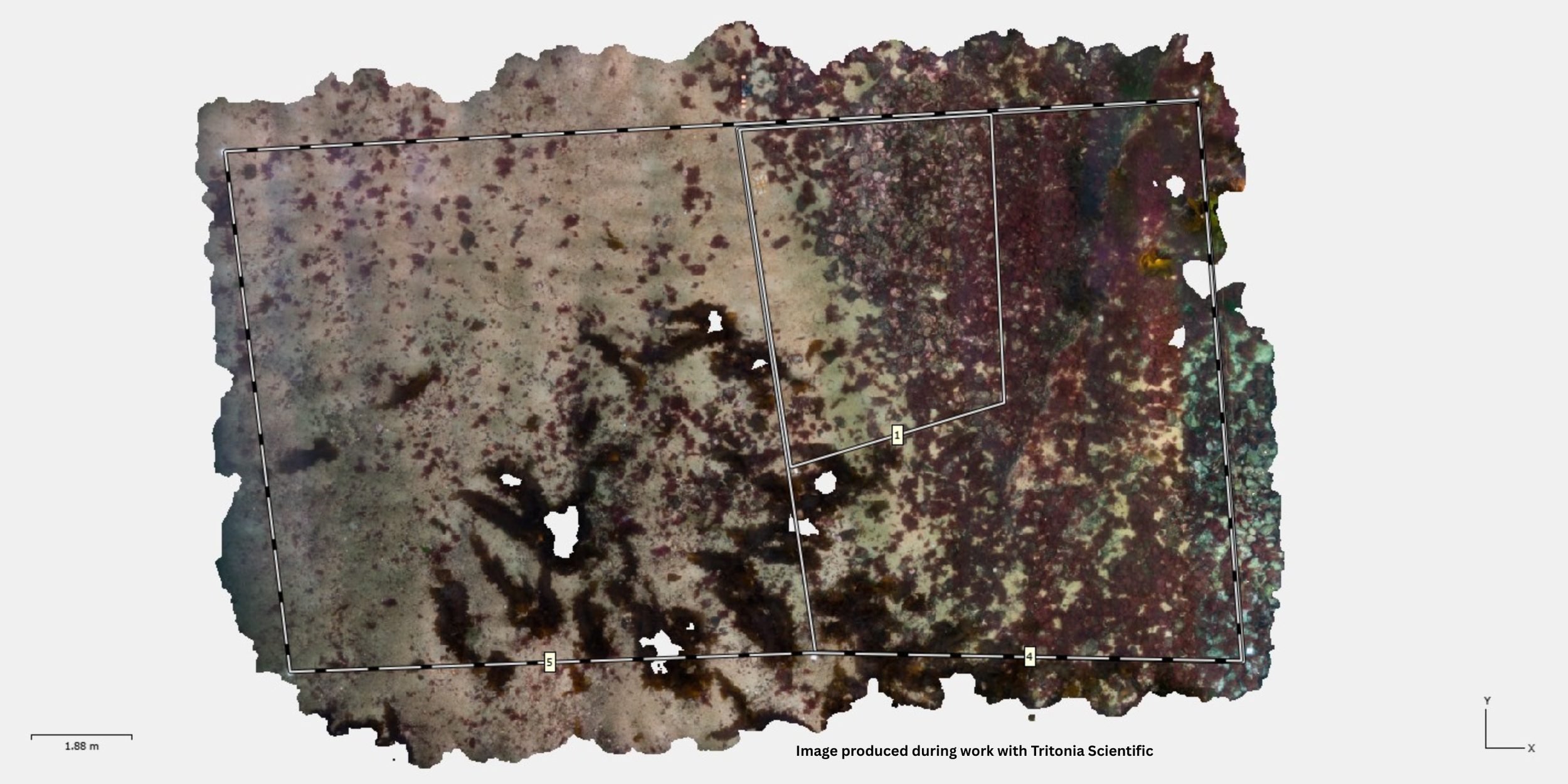
Specialist processing and analysis of underwater imagery to create accurate, high-resolution 3D models for habitat mapping, environmental monitoring, and spatial analysis.
Processing of diver and ROV imagery
3D seabed and habitat reconstruction
Georeferenced photogrammetry workflows
Habitat mapping and quantification
Morphometric measurements from 3D models
Environmental interpretation of photogrammetric outputs
Specialist processing and analysis of underwater imagery to create accurate, high-resolution 3D models for habitat mapping, environmental monitoring, and spatial analysis.
Processing of diver and ROV imagery
3D seabed and habitat reconstruction
Georeferenced photogrammetry workflows
Habitat mapping and quantification
Morphometric measurements from 3D models
Environmental interpretation of photogrammetric outputs